
Environmental impact study
EIA/RIMA assessment under Law 294/93 and MADES, a prerequisite for any subdivision.
From the first survey to the registration at the RUN.
EIA/RIMA assessment under Law 294/93 and MADES, a prerequisite for any subdivision.
A plan of your property tied to the official reference framework of the RUN (National Unified Registry), with verifiable UTM coordinates. The basis of every land survey and registry procedure.
Preliminary subdivision layout over your land title: streets, lots and green areas.
Complete project ready to file: plans, descriptive report and lot schedule according to municipal rules. How the service works →
Network design, ANDE paperwork, poles and cabling for your subdivision. See the service →
Grading, drainage and stone paving of the subdivision's streets. See the service →
ESSAP network, sanitation board or artesian well with tank and internal network. See the service →
We direct the paperwork, works, costs and deadlines of the whole project. See the service →
Full development of gated communities, condominiums and subdivisions with an investment focus.
High-precision digital terrain models and contour mapping for ranches and large estates.
Surveys with geodetic GPS, total station and drones. Georeferencing according to the RUN. See all geomatics services →
Stop counting the herd on horseback or guessing crop health: we fly a drone over your land and give you the exact data. See the full service →
The drone flies the paddock and the AI counts every head in minutes, without rounding up the herd.
The AI automatically flags animals with poor condition or abnormal behavior.
We detect water stress and deficiencies in the crop days before they are visible to the naked eye.
AI infestation map for targeted spraying, instead of spraying the whole field.
Seeding and fertilization prescriptions by field zone according to the real potential of each sector.
We measure how much pasture each paddock has available to plan the rotation with data.
Periodic flights over the ranch's fences and access points to detect breaks or unauthorized entries.
Yield prediction per field before harvesting, based on the crop condition detected in previous flights.
On-site staking and layout of lots, streets and axes with stakes and concrete monuments.
Complete handling of the paperwork with the Municipality and the RUN (National Unified Registry).
Photorealistic 3D images of your development for sales, marketing and investor presentations.
High-resolution satellite imagery sourcing and analysis for land studies and monitoring.
Financial analysis of the subdivision: costs, sale prices per lot, cash flow and return on investment.
Physical and digital scale models of your project for showrooms and commercial launches.
Clearing, stump removal and cleaning of land and street strips, leaving the site ready for staking and works.
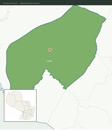
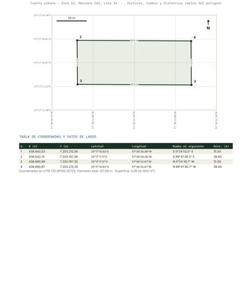
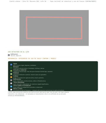
We sell curated databases of plots according to your criteria: area, location, registry status, access and market price. Each plot is delivered with its identifier: the property's complete cadastral record based on its padrón and finca. The prospecting tool used by serious investors in Paraguay.
Georeferenced coordinates · Registry account in the RUN · Verified area · Registry status in the RUN · Value-per-hectare estimate · Recent satellite photos.
Three sample records of real plots, with area, location and cadastre data.
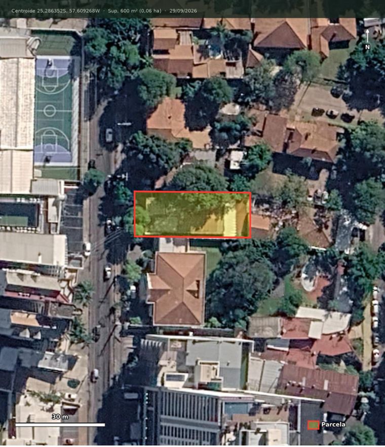
Asunción, Capital · 581 m²
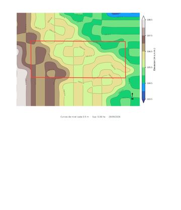
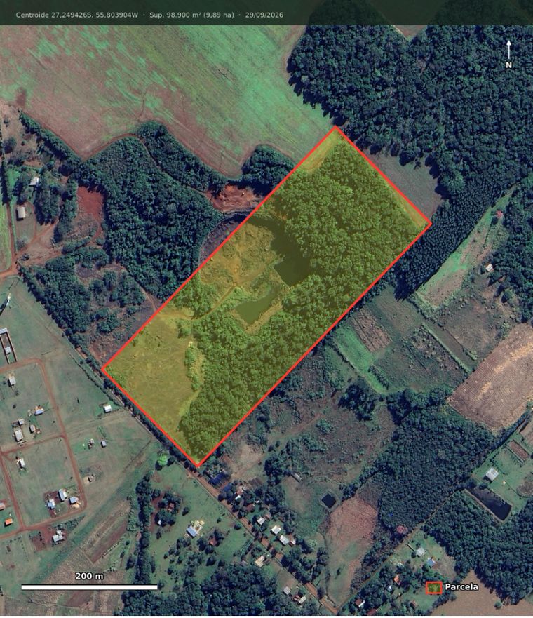
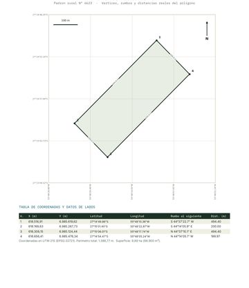
Capitán Miranda, Itapúa · 9 ha
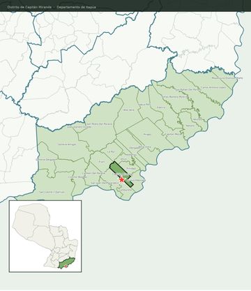
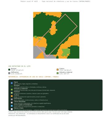
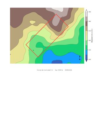
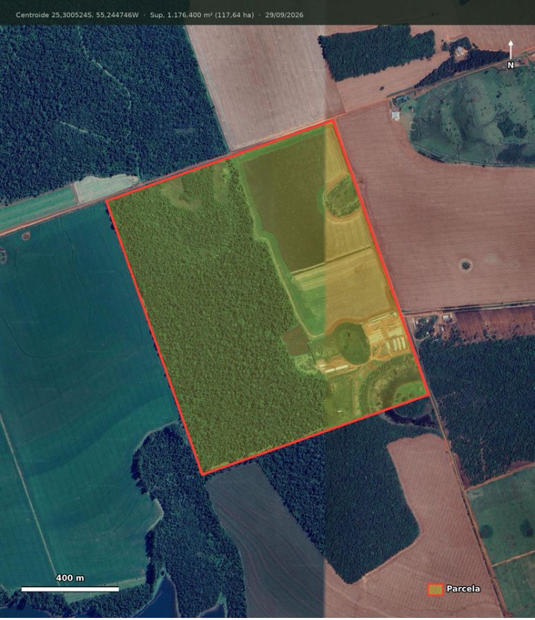
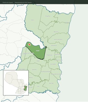
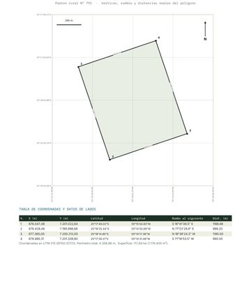
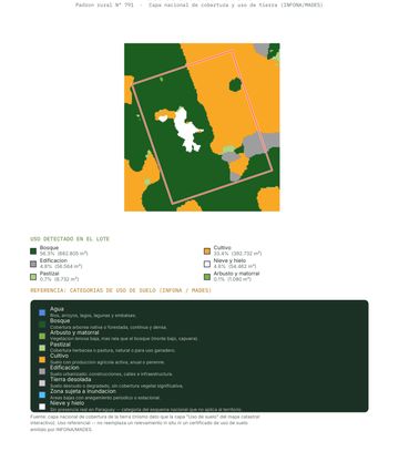
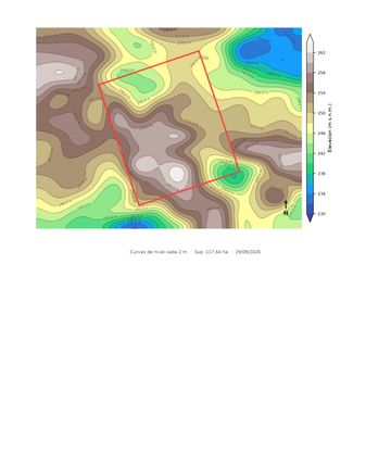
Yguazú, Alto Paraná · 117 ha
Photos of the infrastructure services: power grid, Lee Ann Ratledge (CC BY 4.0); drinking water, Vraj Acharya / WELL Labs (CC BY-SA 4.0); stone paving, Estormiz (CC0); management, National Park Service, YellowstoneNPS (public domain); land subdivision, David E. Lucas (public domain). Via Wikimedia Commons.