In livestock
Counting the herd on horseback takes a whole day, two people never reach the same number, and that count is not serious data for a bank or a buyer.
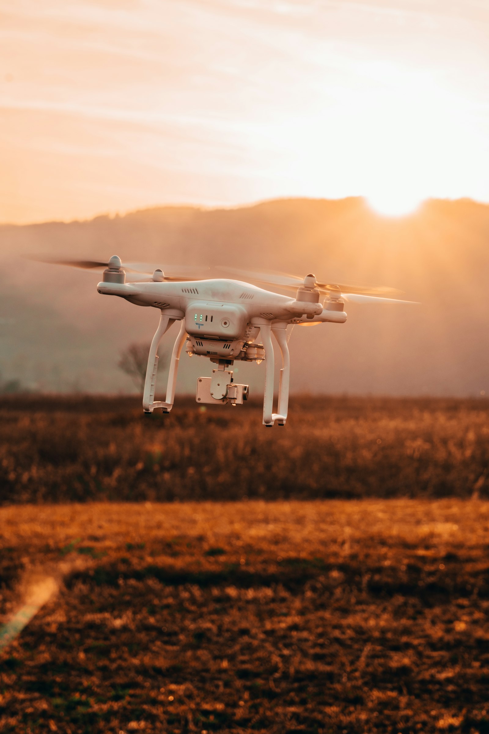
Rounding up the herd to count it, or waiting to see the wilted plant, is already costing you money. We fly a drone over your land and deliver the exact data: head of cattle, fields at risk, where to spray.
Counting the herd on horseback takes a whole day, two people never reach the same number, and that count is not serious data for a bank or a buyer.
By the time the leaf looks yellow or the weeds are visible to the naked eye, the yield is already lost. Spraying the whole field just in case wastes herbicide where it isn't needed.
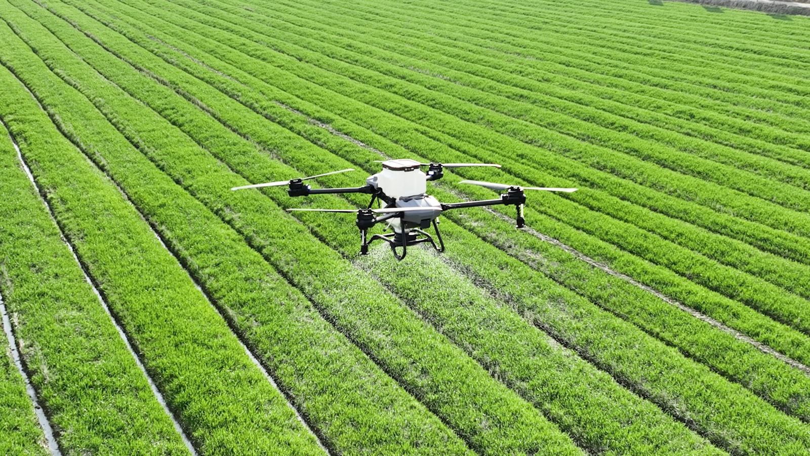
We fly the field with a drone and process the images with an artificial intelligence model trained for that specific task: counting head, measuring water stress, flagging weeds. The result is a number or a map you can show your bank, your buyer or your agronomist — not an estimate by eye. It builds on the same foundation of photogrammetric drones and georeferencing we already use in subdivisions and ranches.
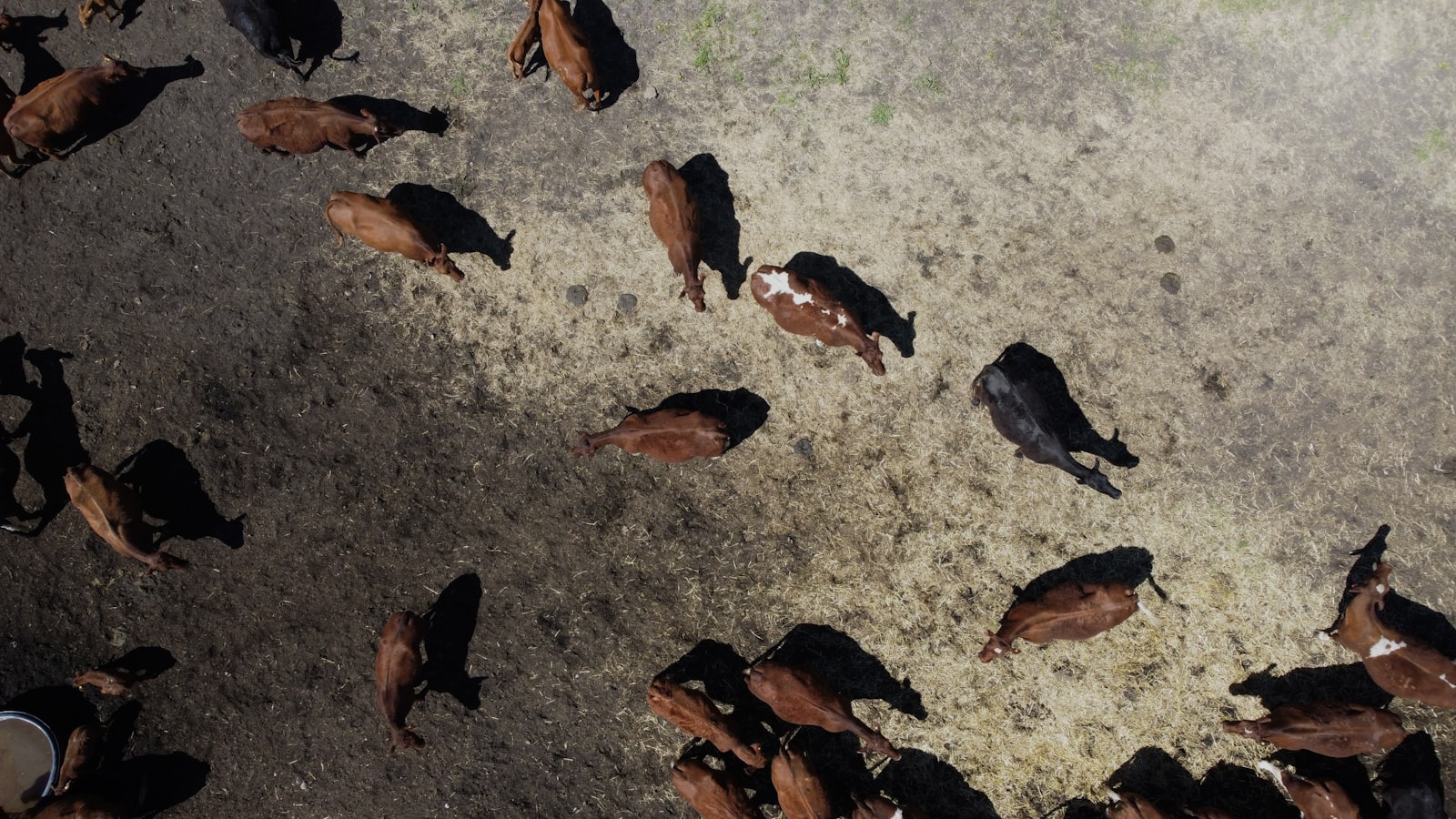
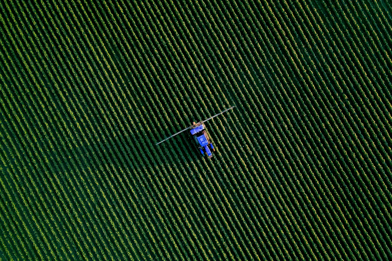
No need to round up the herd to count it: the drone flies the paddock and the AI counts every head in minutes, with a number you can use for the bank, a sale or inventory.
A thin or sick animal is noticed late by eye. The AI flags it automatically so the vet only checks the real cases.
By the time the leaf looks yellow, the yield is already lost. We detect water stress and deficiencies days before they are visible to the naked eye.
Spraying the whole field just in case wastes herbicide. The infestation map tells you exactly where to spray.
Seeding and fertilizing evenly across an uneven field wastes inputs. We adjust the rate by zone according to the real potential of each sector.
Rotating the herd by eye overgrazes some paddocks and leaves others unused. We measure how much pasture each one has left.
A broken fence or an unauthorized entry is discovered only after the loss has happened. Periodic flights detect it earlier.
Without knowing the expected yield, harvest and sales logistics are planned blindly. We estimate it per field before harvesting.
Herd counts for inventory, bank refinancing or cattle-theft control, without rounding up animals to count them.
Early detection of problems in soy and other extensive crops, before they hit the yield.
Aggregated monitoring of fields from several members with the same flight + AI workflow, at a lower cost per hectare.
Aerial verification of pasture condition, infrastructure and head of cattle before closing a purchase. See also our cadastral map.
It is the use of drones to survey crops and herds from the air, and of artificial intelligence models to turn those images into actionable data: how many head there are, which fields have water stress, where the weeds are. It replaces walking or riding the field with verifiable data.
The drone flies over the paddock and captures high-resolution images. A computer vision model detects and counts each animal automatically, with far higher accuracy than a visual count, especially in large herds or fields with poor visibility.
Far higher. A count on horseback or a visual crop inspection depends on who does it and on the day, and in large herds or extensive fields the margin of error is high. The AI model identifies each animal or each problem spot consistently flight after flight, with a number you can present to a bank, a buyer or your agronomist.
It depends on the area to survey and the type of analysis. Ask us free of charge on WhatsApp stating the size of the field and what you need to measure (livestock, crops, weeds, etc.) and we will quote you the same day.
Yes, we cover ranches and farms in any department of the country.
Tell us the area and what you need to measure, and we will quote the flight and analysis the same day.